
Walk Van Buren Streets by Address
A useful Van Buren street directory separates three ideas that often get mixed together: a parcel, its owner, and the people who occupy a building. The Crawford County assessment roll can tie a Van Buren street address to an owner and parcel. A deed can explain how that owner obtained the land. Registration and older Van Buren address directories can add dated signs of residence, but neither is a complete household list. Start with the exact address and keep its original spelling, unit, direction, and street type before testing shorter variants.
- Search Van Buren property in the Crawford County system by address. Copy the owner exactly as shown, plus the parcel ID, situs address, subdivision, lot or block, and legal description.
- Open the matching Van Buren polygon in county or state GIS. Confirm that the address point and land shape agree, then inspect the next parcel one at a time.
- Use the current owner as a grantee in the recorder index. Match the legal description before accepting a deed as part of the same chain.
- Check lawful voter evidence for a dated registration clue. The public self-lookup is identity based, not a browse-by-street tool.
- For earlier Van Buren occupants, move to the address-first reverse directories and census schedules. Keep ownership and occupancy separate until the evidence joins them.
This order prevents a common mistake. A Van Buren tax mailing destination may be a post office box, a business office, or another property. Even a homestead exemption is only stronger evidence of owner occupancy, not proof of everyone at the address. The street directory becomes reliable when each conclusion carries a source and date.
Search Van Buren Property Streets
The Crawford County Real Property Records entry is the main assessor route for present Van Buren parcels. Crawford County says its real-estate search provides sales history, valuations, improvements, and tax history, but automated inspection of the live ActDataScout controls was blocked. Do not assume fields that were not verified. The separate ARCountyData tax search exposed these controls, though a reCAPTCHA may appear:
| Search field | Input | Use on a street |
|---|---|---|
| Last or business name | Text | Finds a known taxpayer or entity |
| First name | Text | Narrows an individual surname |
| Address | Text | Accepts a property-address term |
| Tax year | Select | Chooses an available roll |
| PPAN or parcel number | Two inputs | Targets a parcel, with a higher-than control |
| Property type or school district | Select | Refines a broad result set |
| Active property | Control | Separates status where available |
The tax form also includes taxpayer ID, tax book, receipt date range, receipt number, result ordering, and other advanced controls. For Van Buren, those fields concern tax records rather than a resident roster. For counter help, the Crawford County Assessor is at 300 Main Street, Rooms 8 and 8-B. Real Estate can be reached at 479-471-3245 from 8 a.m. to 5 p.m.
Open the Crawford real-property search before viewing the captured screen.
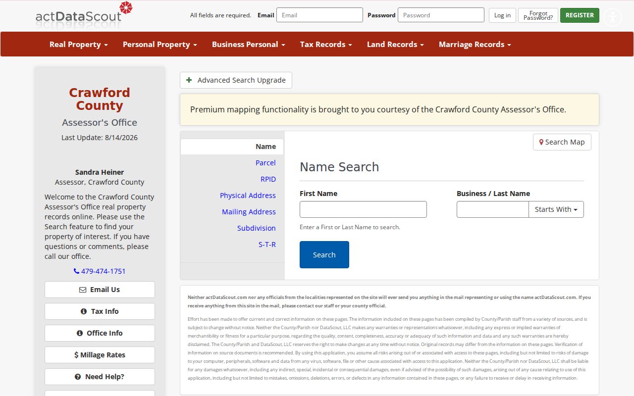
The screen identifies the county route while reminding researchers that portal access and visible controls can change.
Van Buren Street Records Compared
No single address source answers every question. Current ownership comes from assessment and deeds, historical Van Buren occupancy comes from dated publications and census schedules, and property work comes from city files. This coverage table keeps those roles distinct.
| Address record | Custodian | Street evidence | Access route |
|---|---|---|---|
| Assessment and tax roll | Crawford County Assessor | Owner, situs, parcel, values, improvements | Web search or assessor counter |
| Parcel geometry | County GIS and Arkansas GIS | Boundaries, address, subdivision, neighborhood | Free map or state query layer |
| Deeds, mortgages, liens | Circuit Clerk/Recorder | Named parties and legal-description continuity | Account index, TitleSearcher, or counter |
| Registration evidence | Secretary of State and County Clerk | Dated, nonprotected registration address | Self-lookup or lawful bulk request |
| Permits and flood files | Van Buren city offices | Work, applicant, lot, block, elevation | City page and records request |
| Reverse directories | Library of Congress or library | Listed occupant in a stated year | Collection request |
Join sources with durable identifiers. The parcel ID links property systems, while the legal description can survive a changed mailing label. An address is the search key, not the final proof. Note the roll year, recording date, directory year, and publication date beside every finding.
Map Van Buren Streets Parcelwise
The Crawford County parcel map supports visual street work. Select the subject Van Buren parcel, zoom until boundaries are clear, then click one adjacent polygon at a time. Exact ActDataScout tool names were not verified because automated access was blocked. A human can pan and select parcels, while the state cadastral service provides documented query mechanics.
See the county map source before using the captured parcel view.
The map confirms land shapes and neighboring parcels, not who sleeps in each building.
The Arkansas cadastral parcel layer is the structured fallback. Filter CountyFips to 05033 and use address components or an address label. Returned fields can include ParcelId, OwnerName, legal description, street components, ZIP5, subdivision, neighborhood, and assessed values. Geometry intersection can find touching polygons. A distance query can include across-street parcels. State the distance and page through results so a capped first response is not mistaken for the full street.
The state parcel schema documents those fields and query options.
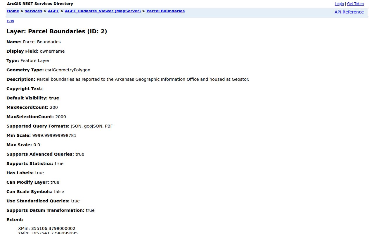
This view confirms the schema, but the layer omits owner mailing address and may trail the county publication date.
Read Van Buren Address Keys
Van Buren street searches improve when each address term is used for its proper task. A normalized postal line may differ from the label on an assessor card, while a deed may rely on lot and block or metes and bounds. Metes and bounds describes land through bearings, distances, and monuments rather than a numbered lot.
- Parcel
- A mapped unit of land tracked by the assessor. One building or mailing address can involve more than one parcel.
- Situs address
- The physical label for the land or building. It is not the same as the destination used for tax mail.
- Plat
- A recorded drawing that lays out lots, blocks, streets, and easements within a subdivision.
- Legal description
- The deed's durable land description. It is often safer than a street number when tracing old records.
- Criss-cross directory
- An address-first directory that lists a published occupant beside a street number for a particular year.
The Van Buren street directory should preserve both the typed address and the record's own version. Differences can reveal abbreviation, annexation, or data-normalization issues. They do not, by themselves, prove that a street was renamed or renumbered.
Note: No authoritative Van Buren street-renumbering year was found, so a matching modern number should never be projected backward without other evidence.
Link Van Buren Streets to Deeds
The Crawford County Circuit Clerk/Recorder at 317 Main Street keeps deeds, mortgages, liens, plats, and related instruments. Begin with the owner on the current parcel card, then search that person or entity as grantee, meaning the party receiving an interest. Open the acquisition deed and compare its legal description with the Van Buren parcel. The seller is the grantor. Search that seller as an earlier grantee to move back one transfer at a time.
The Crawford land-record index requires an account, and its exact first online year is not disclosed. Noncommercial TitleSearcher access starts with a $5 deposit, then costs $0.25 for an opened name and $2 per image. The street directory must not present that gated index as free. Judgments, decrees, and orders after January 2, 2015 are not numbered or available there; the clerk directs users to court search instead.
Visit the Crawford tax-and-address search before reviewing its captured page.
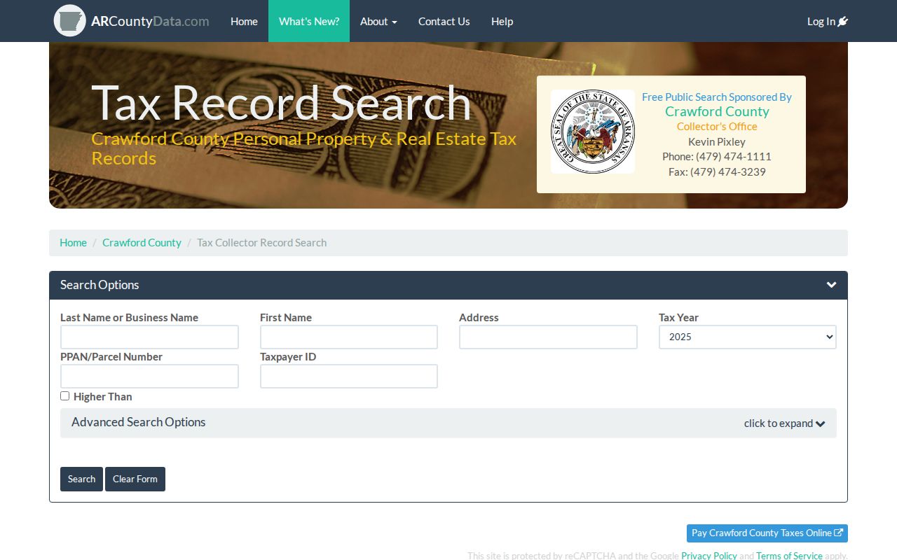
The address field works beside the assessor route, while parcel and tax controls help refine a match.
If an index search stalls, call 479-474-1821 or use the recorder counter. Recording ends at 4:30 p.m., though office hours run to 5 p.m. Official originals remain there. Counter copies cost $0.50 per page, while prepaid mail or fax copies cost $1 per page.
Van Buren Address Permit Records
Property records date ownership, but city files can date physical work. The Van Buren Building Department supplies permit forms and counter access. Commercial site-plan material can contain the owner or applicant, streets, property lines, structures, utilities, hydrants, drainage, flood information, and survey data. A permit proves an application or approved project, not a move-in date or complete list of occupants.
Open the building records source before viewing the department capture.
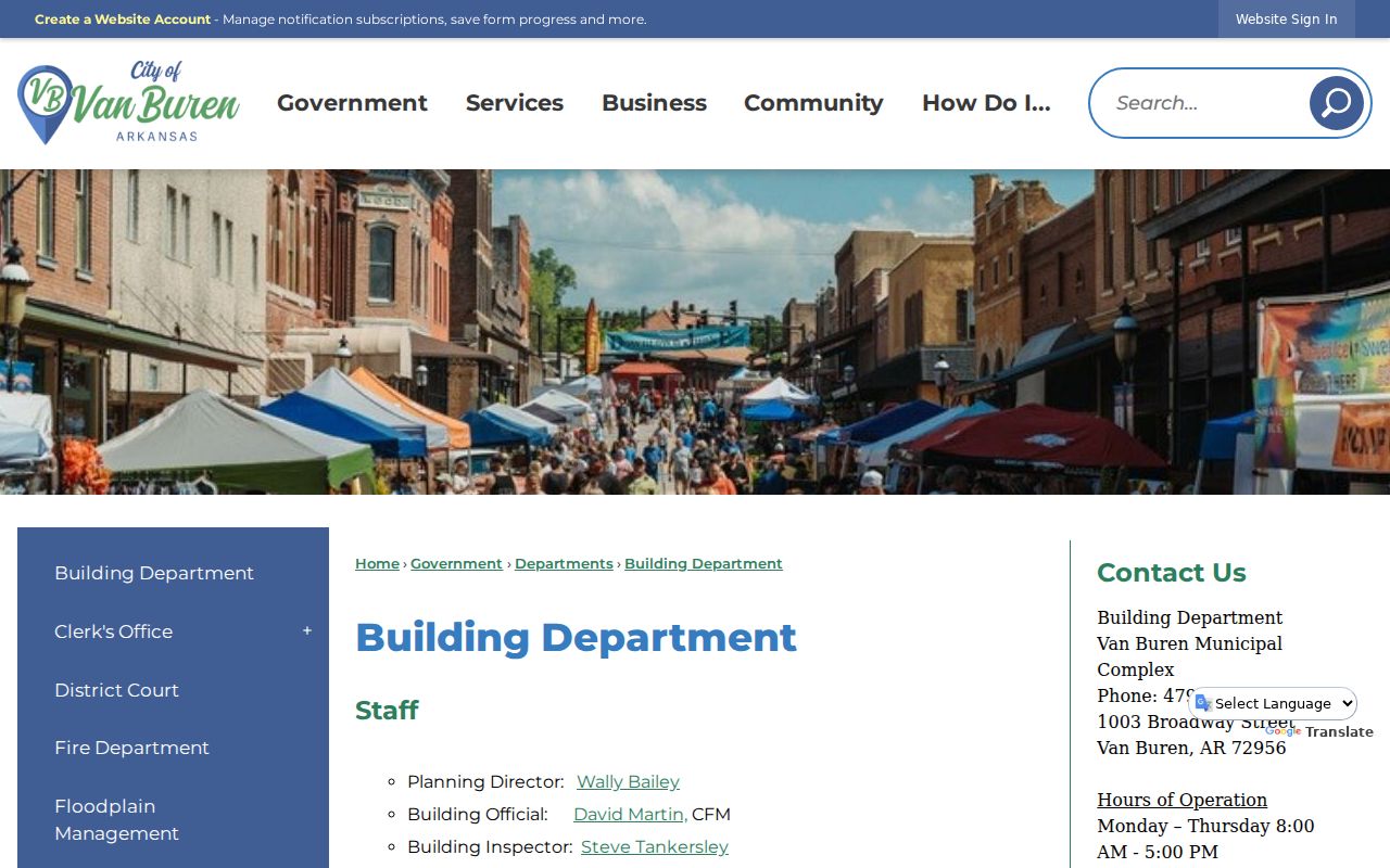
The department is the correct starting point when a parcel card shows an improvement but not the project file.
The Van Buren Floodplain Management office can search address, lot, and block information and holds elevation certificates. Those files add structure and site context to a by-address inquiry. They do not name every resident.
Consult the floodplain source before using its captured screen.
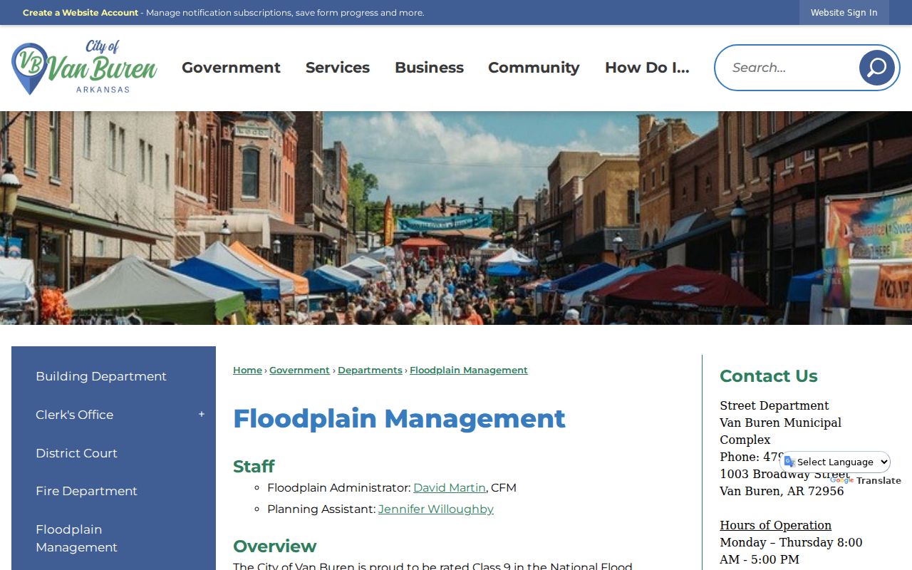
The capture marks the access point for address-specific flood and elevation material that can supplement parcel research.
Van Buren Streets in Reverse
Modern parcel systems lead to owners, not full households. For a dated occupant clue, the Library of Congress address-directory collection lists Fort Smith, Van Buren, and Barling criss-cross coverage for 1955 and 1966 through 1996. A request should specify the street-address or criss-cross directory, the place, state, and year. Since the title covers several cities, confirm that the selected street appears in the Van Buren section.
Work across nearby years. A listed occupant in one edition and a different name in the next brackets a possible change, but publication lag and omissions can blur the timing. Pair the finding with census, deed, obituary, or newspaper evidence. The collections belong to the Van Buren city directory research, while the street directory uses them only as an address-first layer.
Note: Reverse-directory names are dated publication evidence, not proof that every person in the household was listed during that year.
Van Buren Street Voter Evidence
The Arkansas Secretary of State's voter registration gateway is designed for a person to verify registration. Its live controls were not fully captured, so exact required fields should not be invented. It is not a street browser. The Crawford County Clerk at 300 Main Street, Room 7 is the local election and registration custodian.
A separate state form offers registration, vote-history, or combined CSV data through Dropbox at no stated cost. The files are very large and the form warns that ordinary spreadsheet software is unsuitable. For lawful local analysis, limit the file to Crawford County, then distinguish a Van Buren postal label from the municipal boundary. Secure-voter records with protected address fields are excluded. Participation history shows only that an election was credited, never a ballot choice.
A nonmatch proves little. The person may not be registered, may use a different spelling or address, may have inactive or canceled status, or may have protected data. Registration is one dated clue within a street directory, not a census of adults.
Van Buren's County Name Trap
Van Buren is the county seat of Crawford County. It is not located in Van Buren County. That small distinction changes every property, deed, tax, and local voter search. Selecting the wrong county can return plausible Arkansas names while missing the correct parcel entirely.
The custody split also matters. The Crawford County Assessor handles ownership and value. The Circuit Clerk/Recorder keeps land instruments and circuit or probate files. The County Clerk handles elections plus annexations, rights-of-way, improvement districts, ordinances, and county minutes. City departments keep planning, permit, and flood material. A sound street directory routes each question to the office that created the record rather than treating one portal as a complete civic database.
Bridge Old Van Buren Streets
No verified local schedule establishes a specific Van Buren street-renumbering project. Historical address work must be reconstructed instead of guessed. Compare the modern parcel's legal description and lot shape with subdivision plats, annexation records, and the Van Buren Sanborn maps. Available editions are dated 1886, 1892, 1897, 1904, 1909, and 1914. They show street layout, footprints, construction, use, and outbuildings, but not resident names.
County Clerk annexation files and city planning-jurisdiction maps help explain why an address may shift custodians without changing ZIP. A postal city label does not prove that a parcel lies inside Van Buren. Legal description usually survives these changes better than a street line.
Pre-1877 chains require special care. Union forces captured Van Buren in 1862 and destroyed courthouse records. That does not mean every early record vanished. It means continuity must be tested record by record with reconstructed books, maps, newspapers, and other sources.
Limits of Van Buren Street Lookup
A public street search can identify parcels, named owners, recorded parties, permit applicants, nonprotected voter evidence, and occupants printed in dated directories. It cannot produce a complete current household. Nonowner occupants may never appear in the ownership chain. Multiunit buildings may share a situs label, and vacant parcels may have no useful street number. Utility customers and driver addresses were not verified as public resident sources and must not be promised.
The state parcel layer makes another key comparison clear: it exposes a situs address and owner name but omits the owner mailing address. The county card may show more, yet any mailing destination remains only a clue. Likewise, subdivision and neighborhood fields are assessor classes, not proof of a resident-recognized neighborhood.
Lawful use. Use Van Buren address records for family history, property research, civic questions, and personal safety. Never use a street lookup to stalk, harass, threaten, or harm anyone.