
Van Buren ZIP Coverage
Official material reviewed for Van Buren supports two ZIP codes: 72956 and 72957. The evidence is not equal for both. USPS identifies a full-service Van Buren Post Office under 72956 and places both numbers under Van Buren processing in its routing material. That does not supply a street-by-street boundary for 72957. It also does not prove that 72957 is a PO-box-only code, a unique code, or the code of a named station. The Van Buren ZIP code directory therefore marks that classification as unresolved instead of borrowing a label from a commercial database.
| ZIP | Supported Coverage | Postal Evidence | Use Note |
|---|---|---|---|
| 72956 | Principal Van Buren delivery area, including addresses beyond the city line | Van Buren Post Office, 2741 Fayetteville Road | Verify each address with USPS and city maps |
| 72957 | Associated with Van Buren routing; exact footprint not verified | Listed with Van Buren in USPS routing material | Station and classification remain unverified |
The table is a starting point, not a boundary map. A postal city is part of a mail address. Municipal status comes from incorporated-place geography and local planning records. That distinction controls whether a permit, flood file, or code record belongs with Van Buren city staff or a county office.
Verify Van Buren Postal Details
Begin with the official Van Buren Post Office result. It identifies the main facility at 2741 Fayetteville Road as 72956-9998 and lists Downtown Van Buren at 22 South Seventh Street as a nearby office under 72956-9997. A facility result confirms the office and its services. It does not establish which office delivers mail to every address, so use the USPS address tool for the specific street and unit.
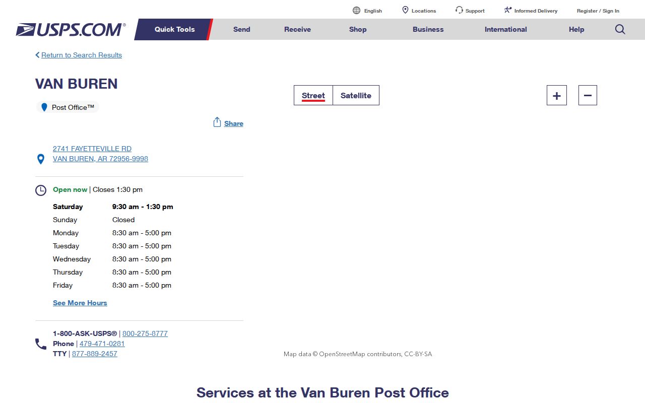
The captured USPS screen grounds the ZIP code directory in postal evidence. Preserve the standardized output, including directional marks, street type, unit, and ZIP+4. Small differences can matter when a parcel search fails. A nearby retail counter is not always the delivery office, and a Van Buren mail line is not proof of city jurisdiction.
Search Van Buren by ZIP
The strongest ZIP-wide property tool is Arkansas's state cadastral parcel service. It exposes the field AdrZip5 and can pair it with Crawford County's FIPS value, 05033. Results can return parcel ID, owner name, situs components, subdivision, neighborhood codes, and assessed values. They remain parcel records. Vacant tracts may have sparse address data, several parcels can share a mail point, and a multiunit address cannot be expanded into a full household roster.
- Verify the address and ZIP through USPS, while keeping the original spelling in the research notes.
- Filter the state parcel layer by CountyFips 05033 and the supported five-digit ZIP.
- Return only useful fields, then page through all results instead of treating a capped first set as complete.
- Compare parcel geometry with the Van Buren city boundary or Planning jurisdiction map.
- Move to the Van Buren street directory process once one street or parcel becomes the focus.
Voter data is a separate layer. The Arkansas Secretary of State offers a statewide CSV request, but its individual lookup is identity keyed and is not a ZIP browser. Any lawful geographic analysis must omit protected fields and must never treat registration as a census of all Van Buren residents.
Van Buren Parcel ZIP Fields
The Arkansas cadastral service documents the search fields that make a ZIP code directory useful at parcel scale. The county tax form does not offer a ZIP field, which is why these two official systems serve different tasks.
| Field or Control | Purpose in a Van Buren ZIP Search |
|---|---|
| CountyFips | Limits results to Crawford County with value 05033 |
| AdrZip5 | Filters the parcel situs address by five-digit ZIP |
| OwnerName | Shows the assessed owner, not every occupant |
| ParcelId | Provides a durable join key for parcel and tax research |
| Subdivision / NBHD | Supplies assessor groupings, not guaranteed community names |
| Geometry and paging | Maps results and retrieves more than the first response page |
Owner mailing addresses are absent from this state layer. Use the Crawford County assessor card or counter when that field matters, and record the publication date because state and county systems can update on different schedules.
Van Buren ZIPs Cross Limits
The main geography quirk is simple: 72956 does not define Van Buren. USPS assigns routes, while the Census Bureau's Boundary and Annexation Survey supplies incorporated-place geography. A parcel may carry “Van Buren, AR 72956” and still fall beyond municipal limits. The reverse can also happen after an annexation: city jurisdiction changes while the mail ZIP stays the same. That mismatch decides where a researcher asks for building, planning, code, or flood records.
Use Van Buren Planning and Development to inspect jurisdiction and mapping resources. County assessor data remains the source for ownership, value, address, and subdivision. County Clerk annexation files and dated ordinances provide the paper trail when the current map does not explain an older record.
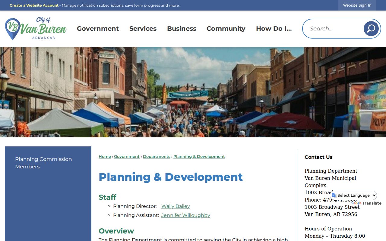
The planning page reinforces the split between postal, parcel, and municipal data. Check all three layers before assigning a Van Buren address to a city custodian.
Van Buren ZIP Terms
Postal terms can sound like legal boundaries, but they serve mail routing. Use the plain meanings below when reading a Van Buren ZIP code directory. None of them identifies all people at an address.
- ZIP code
- A five-digit USPS routing code. Its reach can cross a city boundary.
- ZIP+4
- The base ZIP plus four digits that narrow a delivery segment, building, box group, or other route detail.
- PO-box ZIP
- A code classified for post-office boxes. No official source reviewed here confirms that label for 72957.
- Unique ZIP
- A code assigned to one high-volume organization. That classification is also unverified for 72957.
- Carrier route
- A delivery grouping inside postal operations, not a municipal district or parcel boundary.
For records work, keep ZIP, situs address, owner mailing address, and deed legal description in separate columns. Merging them can turn a useful lead into a false location claim.
Van Buren ZIP Tax Limits
The Crawford County tax search accepts taxpayer name, property address, tax year, parcel number, taxpayer ID, tax book, receipt dates, receipt number, property type, school district, result order, and active-property status. It does not expose a ZIP filter in the inspected form. A user can first select parcels in the state ZIP query, then carry parcel numbers into the tax system for tax-year and payment detail.
This division of labor is useful. The state layer handles broad ZIP geography and spatial queries. ARCountyData handles tax-oriented filters. ActDataScout may have more controls, but automated inspection was blocked, so the Van Buren ZIP code directory does not claim unverified fields.
Search by address when the ZIP query produces a sparse parcel. The county form can accept a street term even though it cannot group results by ZIP. If the spelling differs between USPS and the assessor, try a shorter street form and confirm the parcel on the map. Never fill a missing ZIP from a nearby parcel. Shared driveways, vacant tracts, and new construction can break that shortcut. The assessor counter remains the best fallback for a current card or a question about a field hidden online.
Keep the source dates. A ZIP query, assessment card, and tax roll can reflect different publication cycles even when they describe the same parcel.
Historic Van Buren Lacked ZIPs
ZIP codes cannot carry a Van Buren address back through the entire directory and Sanborn era. Historical research starts with the street name and number used at the time, a lot and block, or the legal description. Sanborn maps then help align old structures and streets with current parcels. County plats and annexation records bridge later boundary changes.
The Encyclopedia of Arkansas history of Van Buren supplies a wider view of the city's growth. It helps explain why a modern postal zone can cover land developed in very different periods.
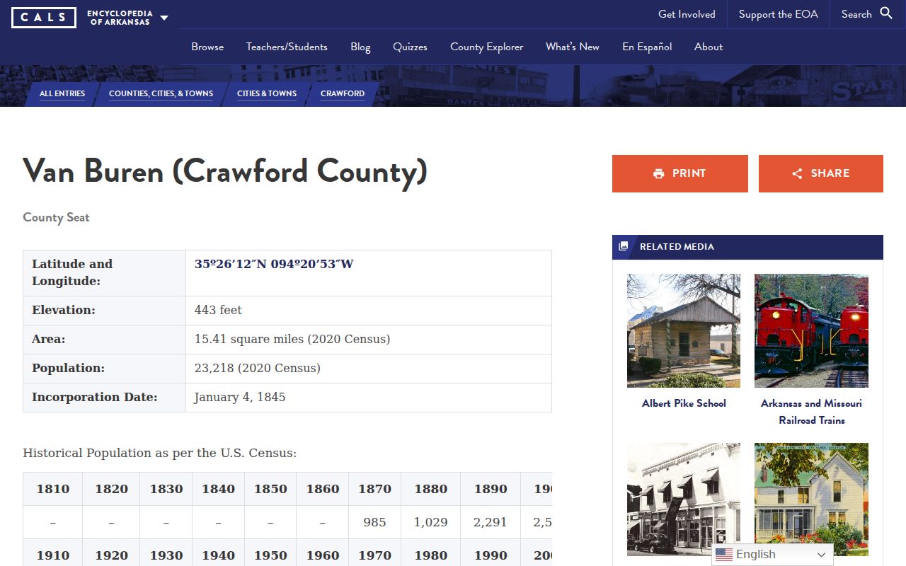
The historical source adds context, not a ZIP boundary. No authoritative local street-renumbering schedule was found, so a matching modern number must never be treated as proof of address continuity.
Van Buren ZIP Custodians
After a ZIP search finds a parcel, route the next question to the office that holds the record. The Crawford County Assessor handles current ownership and valuation. The Circuit Clerk/Recorder holds deeds and other recorded land instruments. Van Buren Planning handles city jurisdiction and zoning context, while the Building Department and Floodplain office handle address-based files within their authority. County Clerk annexation records explain many boundary changes.
If a portal fails, contact the custodian by phone or at the counter. Arkansas FOIA allows requests by several channels when they reasonably identify an existing record. Ask for a permit, map, parcel card, annexation file, or index entry, not for an office to create a new list of Van Buren residents. That keeps the ZIP code directory tied to records the agency already maintains.
The record's government level matters more than the postal line. A city permit request belongs with Van Buren only after jurisdiction is checked. A deed, assessment card, or county annexation file stays with the Crawford office named for that record type. For an older address, include the date range, subdivision or legal description, and any prior street form. Ask to inspect before ordering a large set of copies. That can expose a mistaken ZIP or boundary assumption before cost is incurred.